
11 Temmuz 2026
açık


Typhoon Bavi, after impacting Japan and Taiwan, heads toward Wenzhou; authorities issue warnings and prepare for severe weather and flooding.
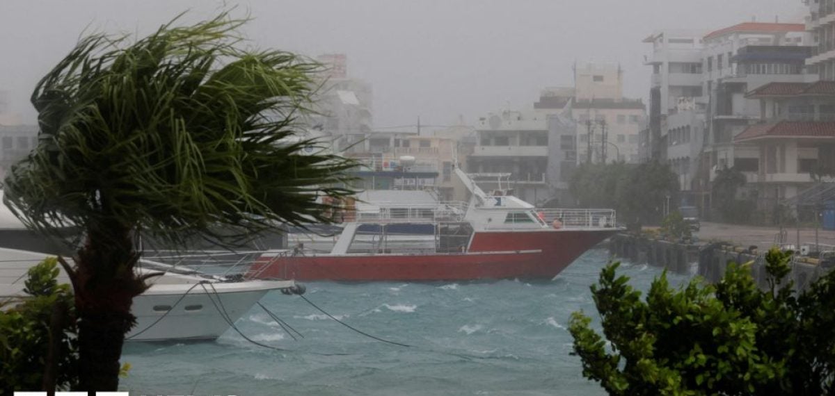
Typhoon Bavi is moving toward eastern China and is expected to make landfall near Wenzhou on Sunday morning, the authorities said, prompting hundreds of thousands of people to be evacuated as heavy rain and strong winds threaten the region.
Bavi, which at its widest spans about 1,000km (620 miles), weakened from a super typhoon to Category 1 but still carries vast moisture in its rain bands, raising the risk of exceptionally heavy rainfall for eastern Zhejiang and northeastern Fujian provinces, officials warned.
The storm struck parts of the Pacific last week, battering Guam and the Northern Mariana Islands with peak winds of 290km/h (180mph), then hit Japan’s Sakishima islands with winds around 144km/h, leaving at least five injured and causing widespread power outages.
As Bavi brushed past Taiwan’s northern tip it brought heavy rain and prompted mass evacuations there, though no deaths were reported. Authorities in Taiwan warned the system could produce up to 1m (39 inches) of rainfall, canceling dozens of flights and suspending school classes.
Earlier impacts from Bavi and related weather triggered landslides in the Philippines that killed 17 people, while parts of southern China remain affected by Typhoon Maysak, which caused at least 39 deaths, widespread livestock losses and two rare tornadoes in Hubei province.
The city of Wenzhou, home to about 10 million residents, lies close to the forecast path of Bavi, prompting large-scale evacuations that officials said were undertaken to guard against the worst-case scenario and reduce potential casualties.
Authorities emphasized the ongoing threat from heavy rain and strong winds despite the storm’s reduced wind intensity, and advised residents to follow evacuation orders and prepare supplies as transportation and utility disruptions were already reported across affected areas.